
/// Industries
Inspection
See Further.
Act Faster.
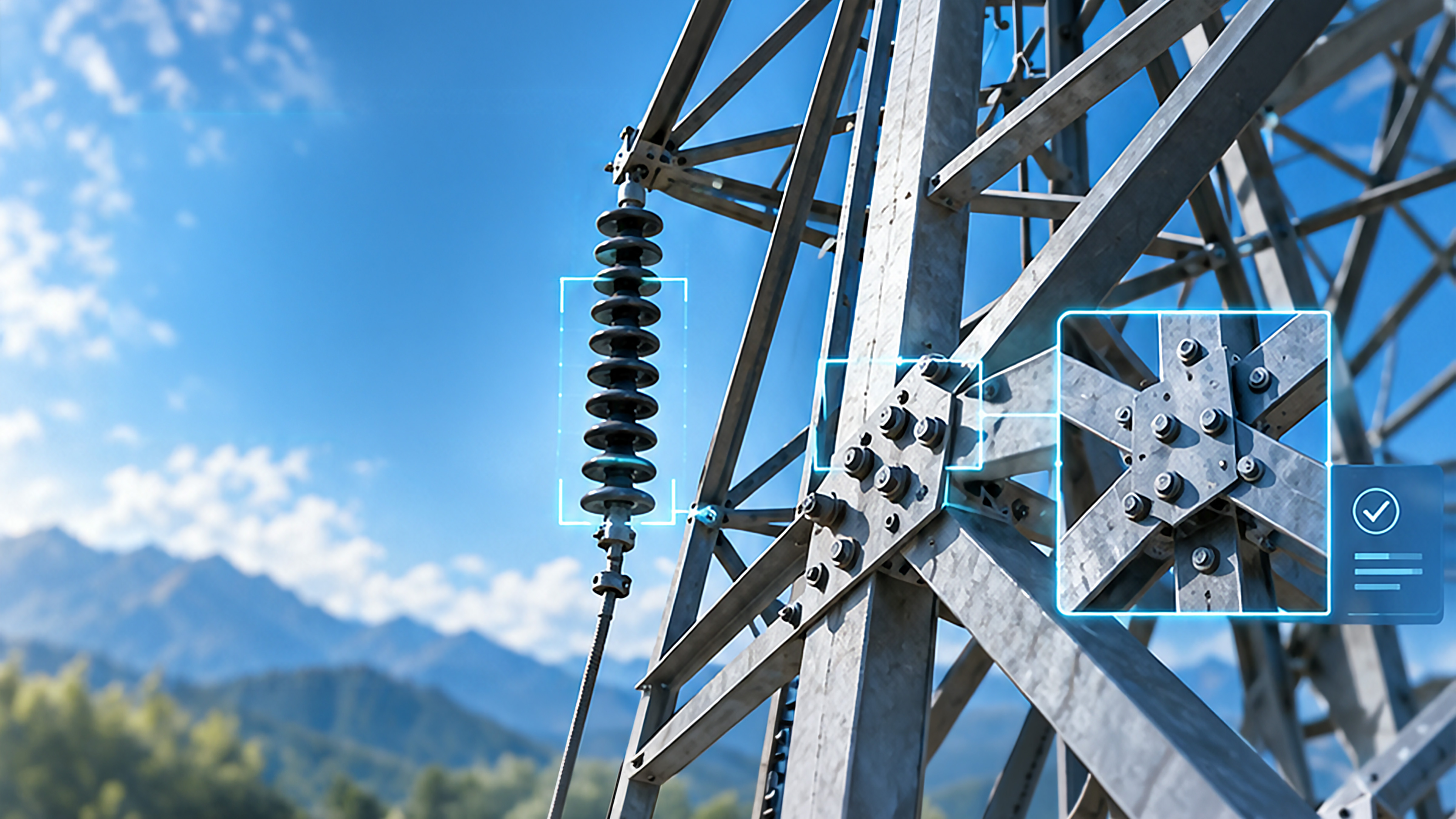
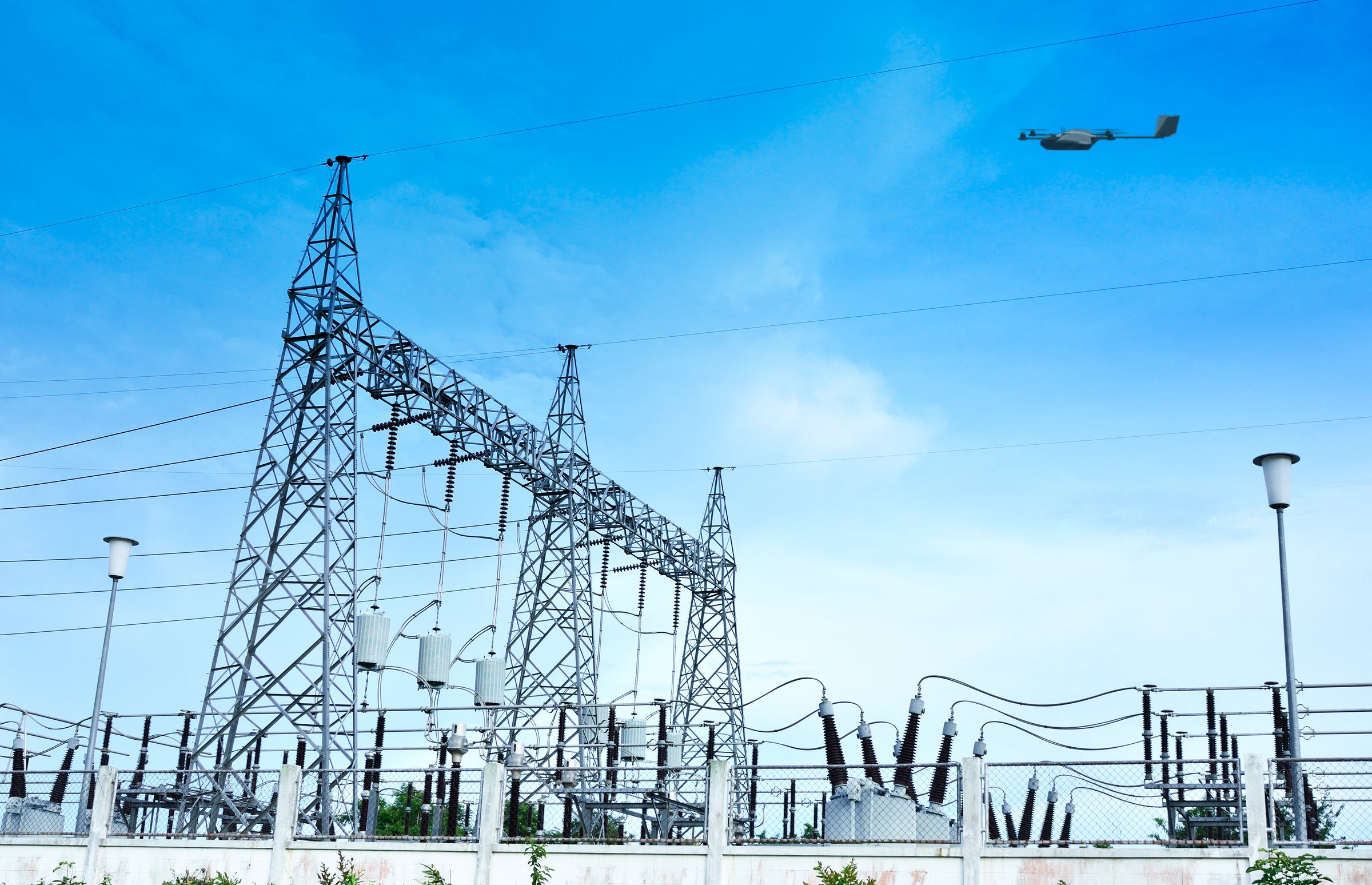
WingXpand’s smart robotics capture high-resolution imagery and thermal data of roads, railways, utilities, and construction sites, so inspectors can find defects and encroachments without manual inspections.
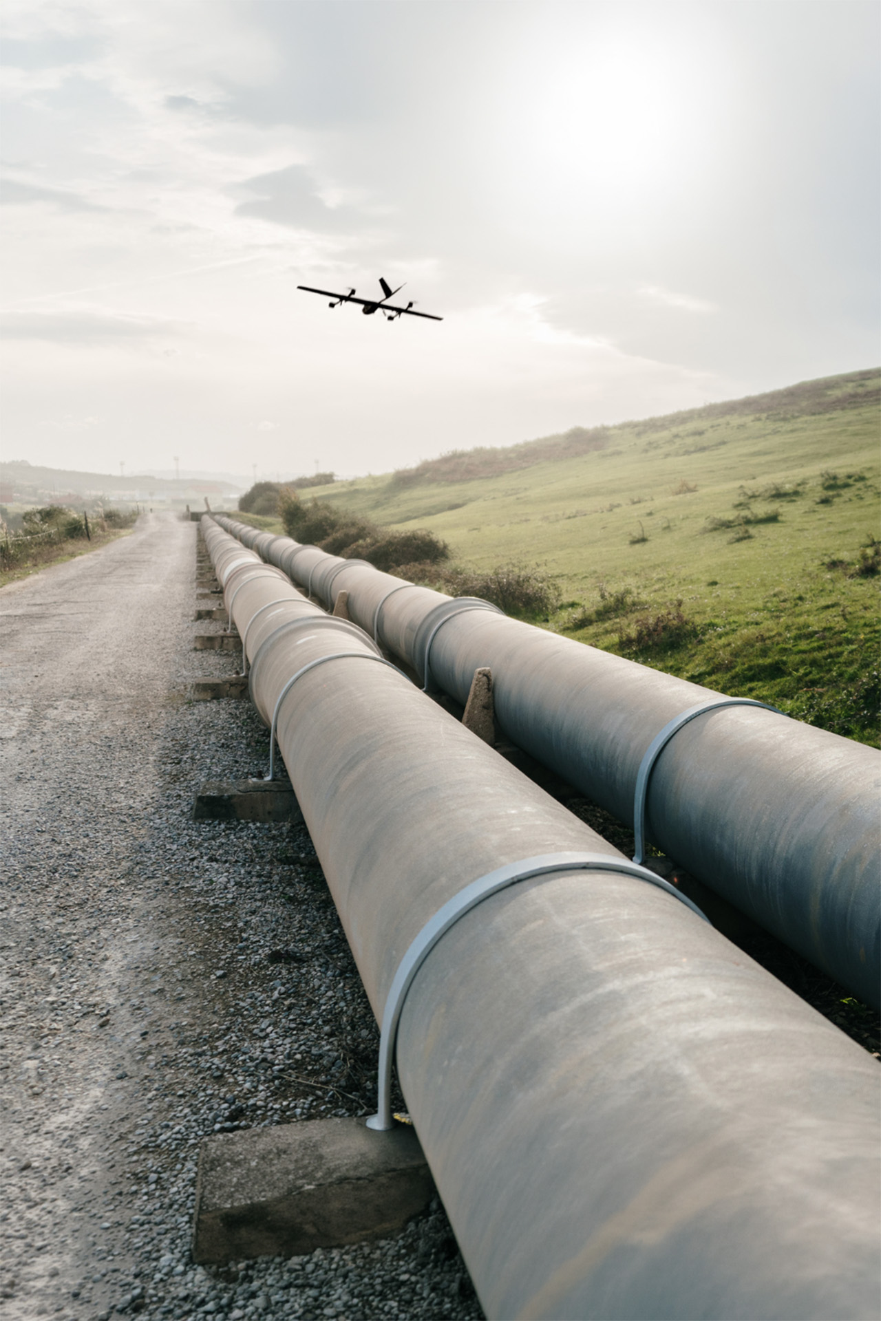
Infrastructure Inspection.
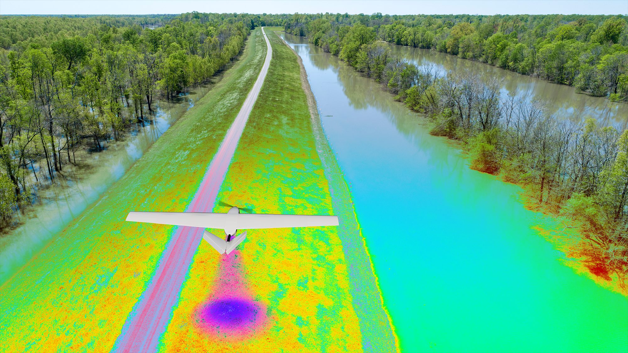
Inspect roads, railways, and other infrastructure with high-resolution cameras and sensors. Capture detailed imagery of structures to identify encroachments, defects, cracks, or other issues without solely relying on manual inspections.

High-Resolution Imaging
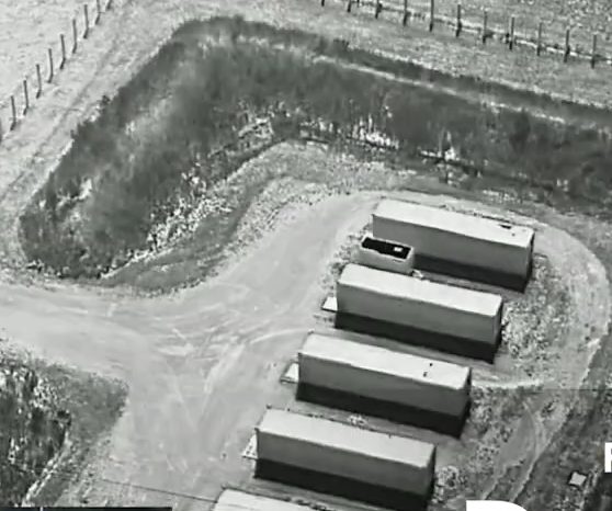
Thermal Inspection
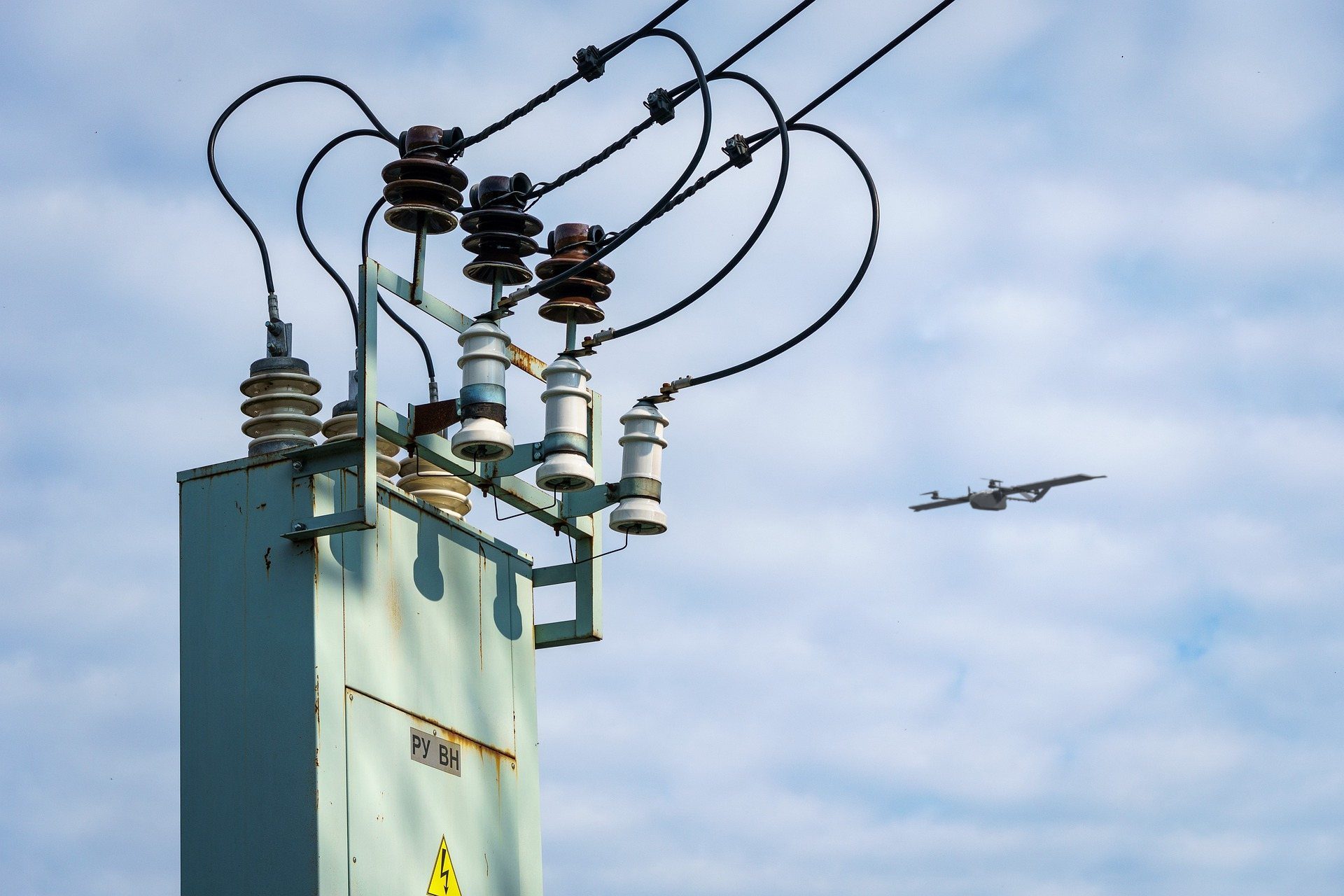
Defect Identification
Asset Condition Documentation
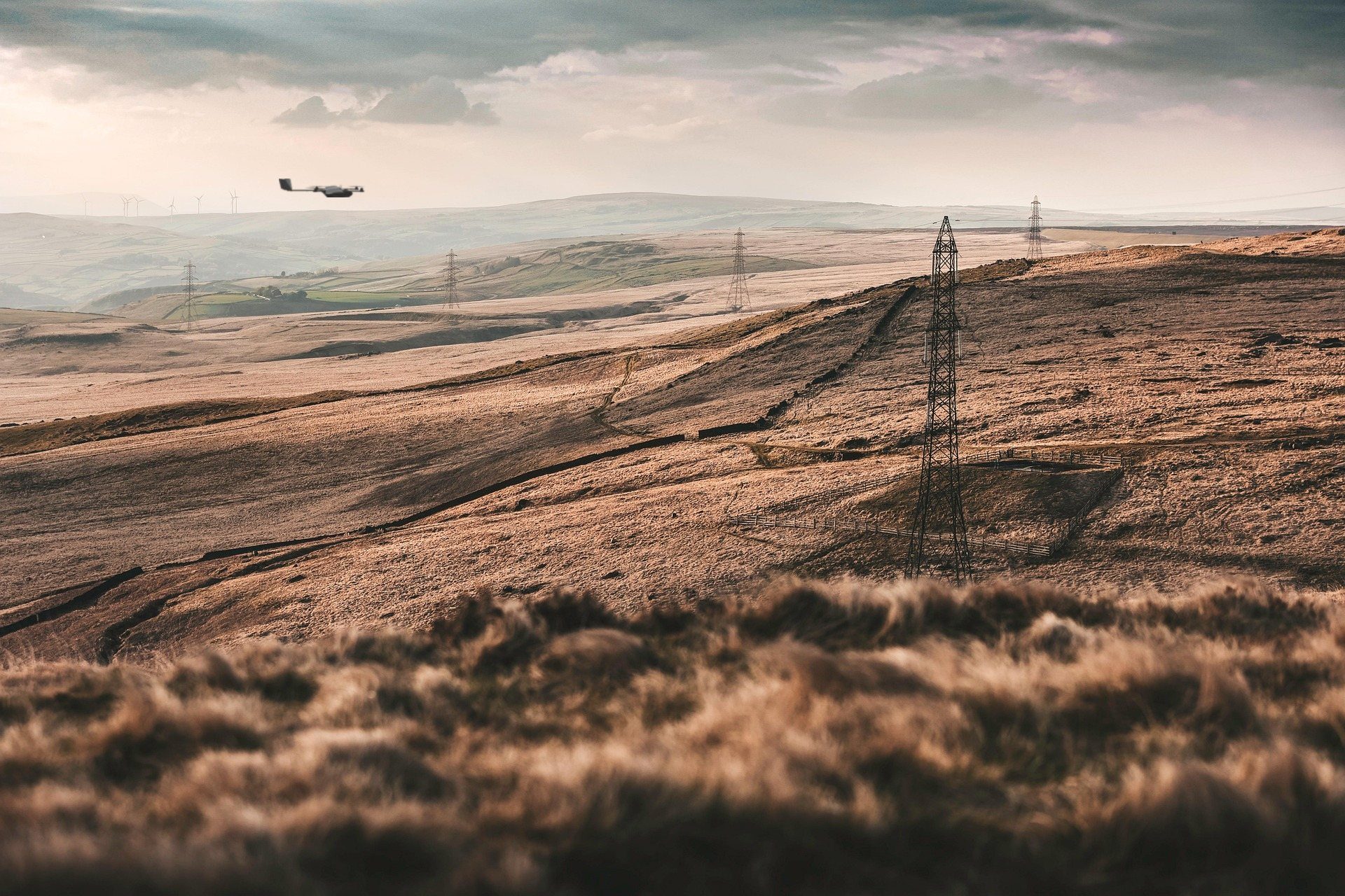
Hard-To-Reach Areas
Construction Progress.
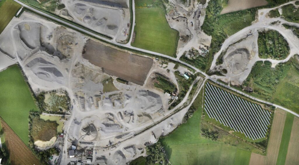
Capture aerial imagery, maps, and 3D models to track site progress, measure stockpiles, document existing conditions, and compare work over time. Give project teams a clearer record of what is happening across the site without adding another labor-intensive inspection process.
Site Mapping
3D Modeling
Stockpile Measurements
Repair Site Surveys



Utility & Energy.
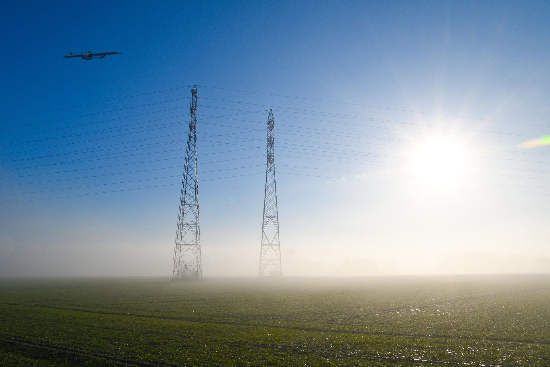
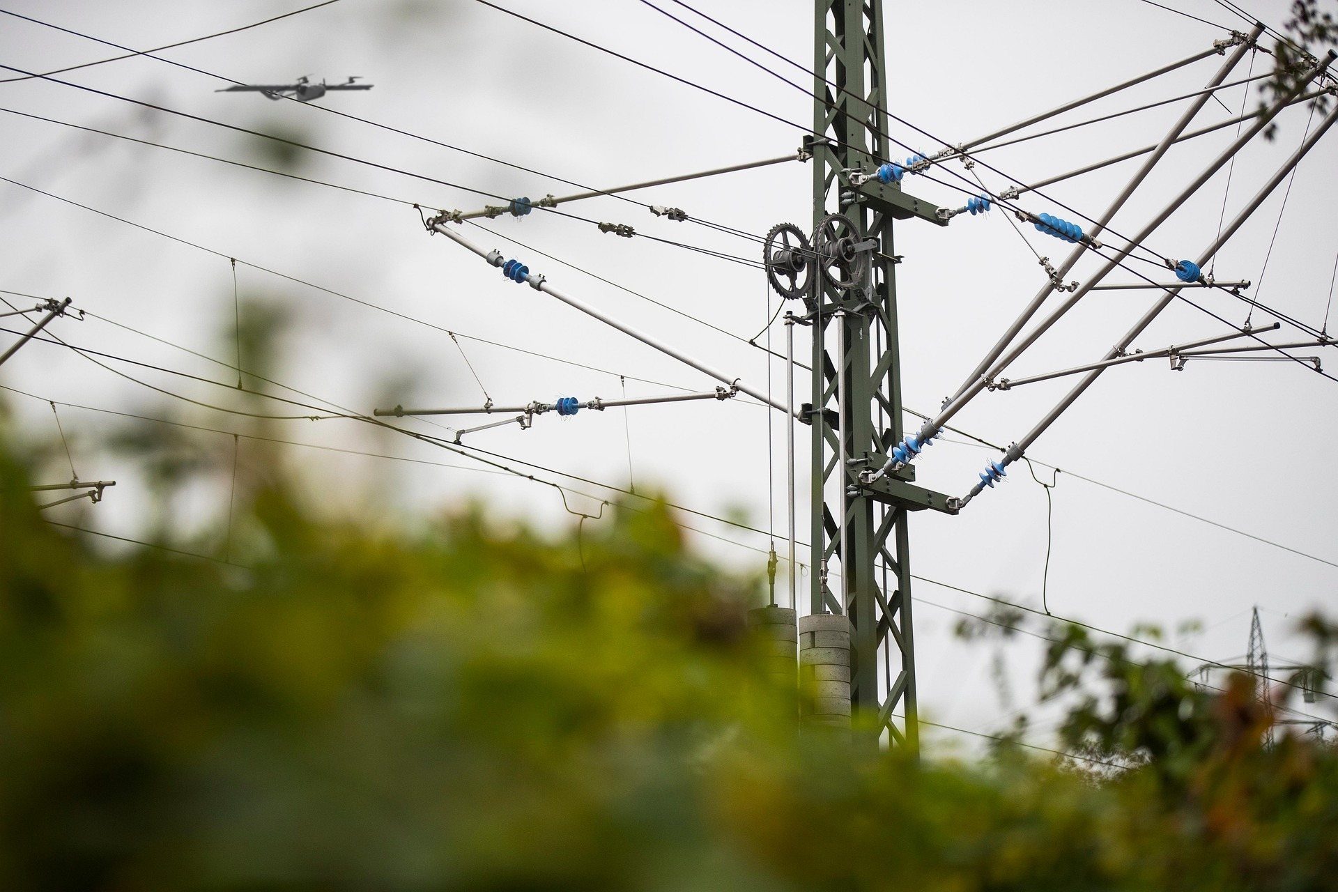
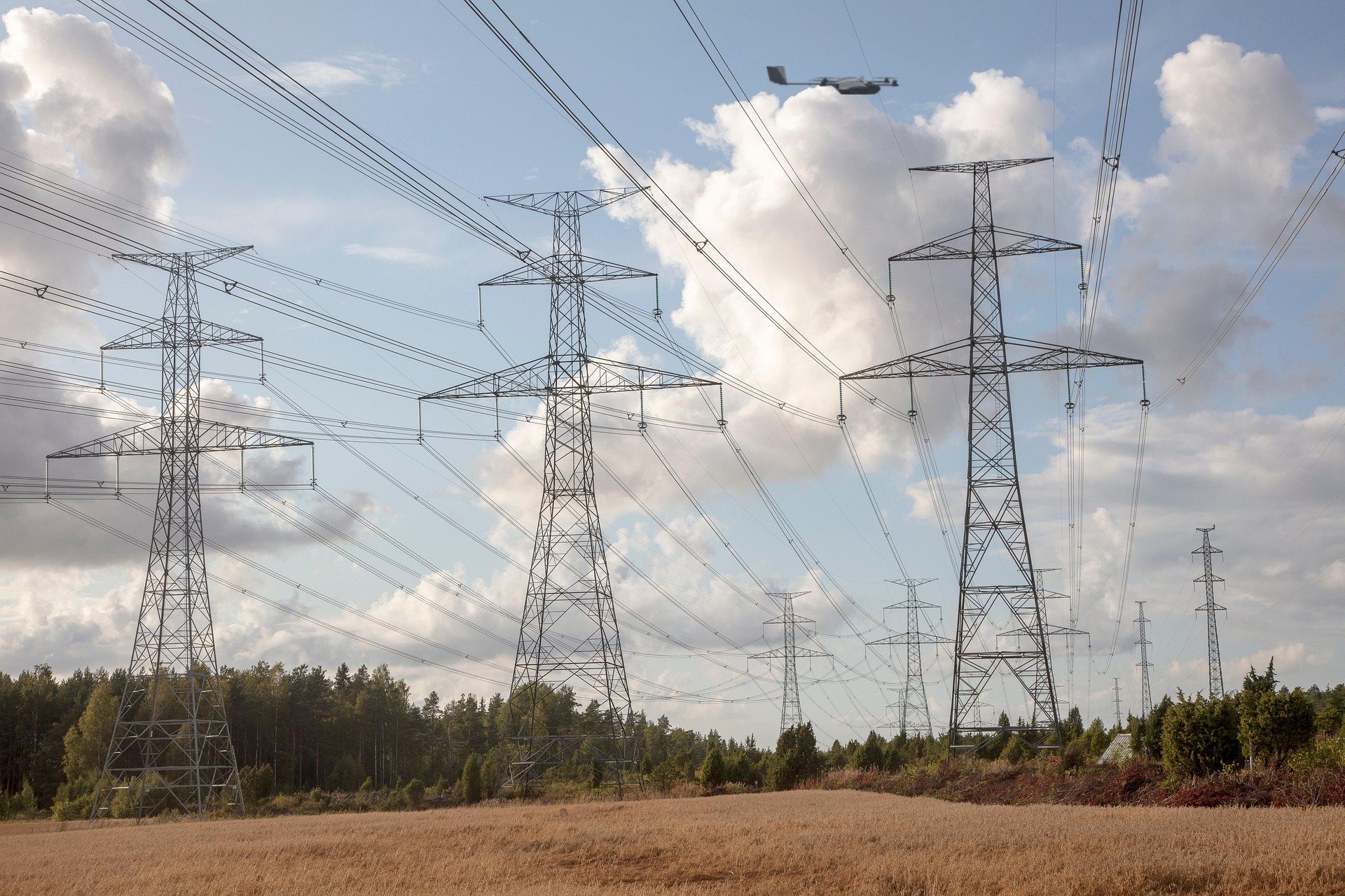
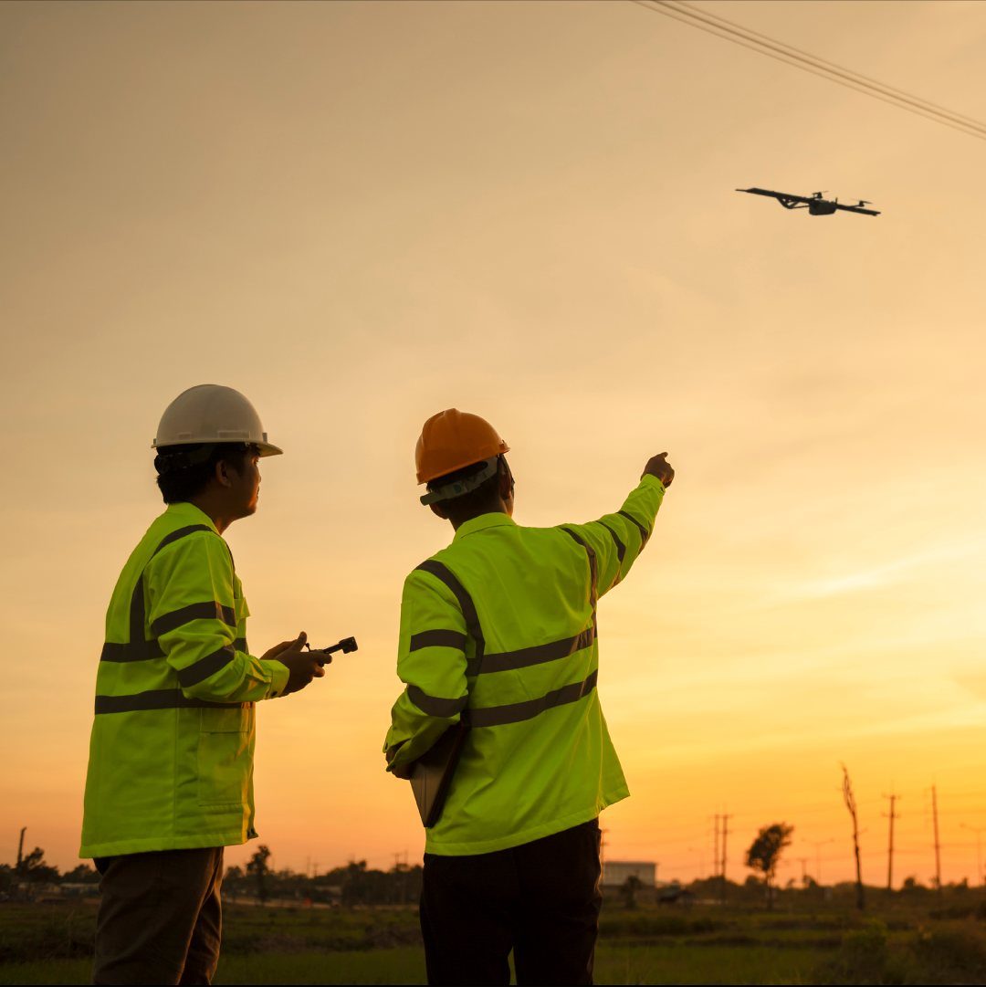
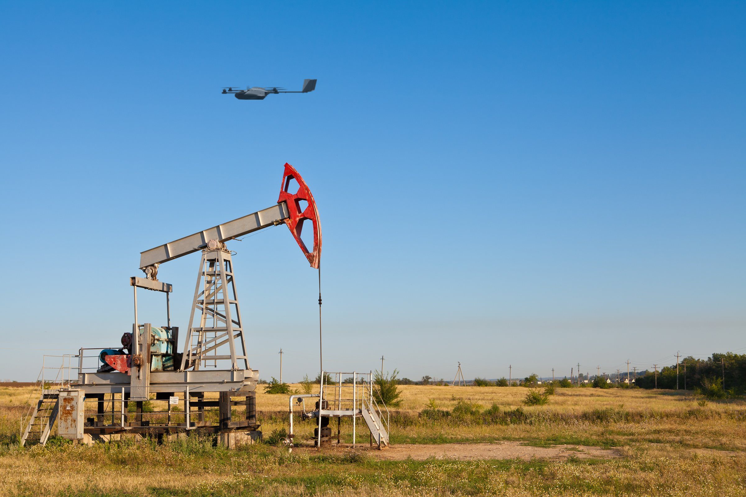
Use high-resolution and thermal imaging to inspect power lines, substations, wind turbines, solar arrays, pipelines, and other critical assets. Detect visible defects, thermal anomalies, vegetation encroachment, and other areas requiring closer inspection so maintenance teams can focus their time where it is needed most.
Thermal Imaging
Anomaly Detection
Vegetation Encroachment
Asset Mapping
Preventative Maintenance
Insurance & Risk Assessment.
Create a detailed aerial record of properties and assets for pre-loss documentation and post-event assessment. Quickly inspect roofs, structures, and large properties after storms or other damage while limiting unnecessary worker exposure and giving teams consistent imagery for review.
Pre-Loss Documentation
Post-Event Assessment
Roof & Structure Inspection
Damage Documentation
Faster, Safer Claims